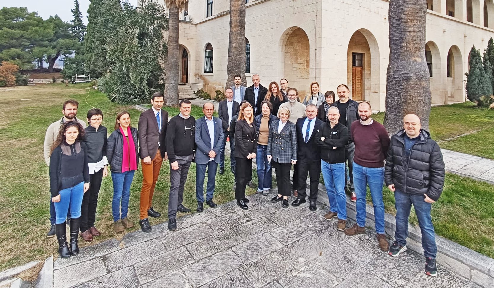
The national map of marine habitats was successfully launched today at the Institute of Oceanography and Fisheries in Split. This marked the successful completion of the project “Mapping of coastal and demersal marine habitats in the Adriatic Sea under national jurisdiction”, which was carried out by the Ministry of Economy and Sustainable Development (MINGOR) of the Republic of Croatia (RO) with a consortium of more than 200 experts.
The aim of the project was to improve the knowledge and availability of data on biodiversity as a basis for effective protection of the Adriatic ecosystem, but also for the sustainable use of natural resources. Therefore, the National Marine Habitat Map presented today is an important tool for the sustainable use of marine resources and integral marine spatial planning, including fisheries and tourism.
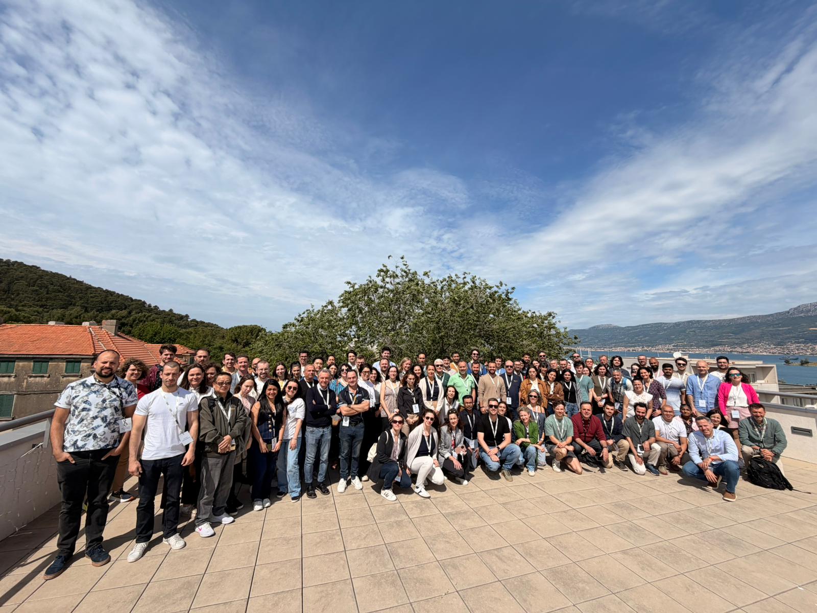
Due to its complexity, the project required a multidisciplinary approach and, under the leadership of MINGOR, brought together experts and scientists from the fields of oceanography, geology, ecology, advanced robotics and artificial intelligence from the Institute of Oceanography and Fisheries, the company OIKON d.o.o. – Institute of Applied Ecology, the Croatian Geological Institute, the Faculty of Geodesy University of Zagreb and the Ruđer Bošković Institute in cooperation with the Croatian Hydrographic Institute, the companies ECOTECH d.o.o., SCIOM d.o.o. and DVOKUT – ECRO d.o.o.
In her opening speech, the director of the Institute of Oceanography and Fisheries, Ph.D. Živana Ninčević Gladan, expressed her pride in the achievements of the team and emphasized the importance of a multidisciplinary approach and cooperation in the realization of this project. dr. sc. Aljoša Duplić, director of the Institute for Environment and Nature Protection in MINGOR, pointed out that this is the beginning of proper management and protection of the Adriatic Sea.
“The project was extremely complex, but also crucial for the future of the Adriatic. Indeed, the detailed map of marine habitats for 51% of the Adriatic provides important baseline data for smart, sustainable use of marine resources, integral marine spatial planning, sustainable fisheries and sustainable tourism, i.e. for planning sustainable economic development of marine and coastal areas. In addition, the publication of a considerable number of scientific papers based on the data collected within this project is expected, which proves its value not only for Croatia, but also for the international scientific community” – emphasized Dr. Aljoša Duplić, adding that each of the consortium partners has contributed unique knowledge and skills, which makes this project a true example of successful cooperation in the name of protection and preservation of our Adriatic. He also pointed out that the remaining 49% of the Croatian part of the Adriatic will be mapped in the coming period.
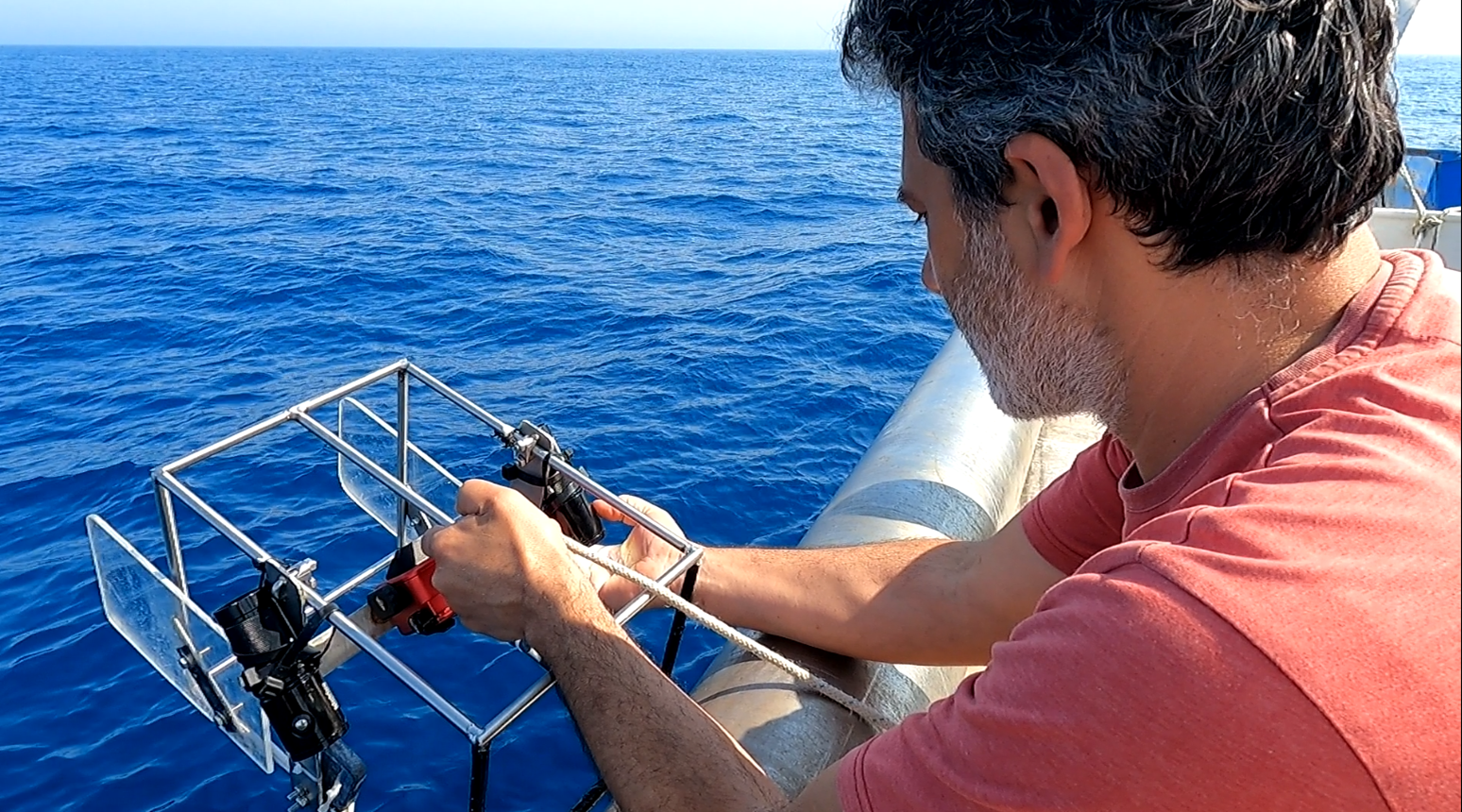
Dalibor Hatić, representative of the contracting parties and director of OIKON d.o.o. – Institute for Applied Ecology, emphasized the importance of technological progress and multidisciplinarity in this project. “The marine habitat mapping project brought together institutions in Croatia with experience and knowledge of marine habitat mapping methods and technologies, including adequate technical and logistical capacities, so that this product, which is necessary for the responsible protection and future management of the Adriatic, could be produced with the quality and level of detail required for future tasks. Due to its complexity, the project required a multidisciplinary approach as well as considerable overall technical capacity, best illustrated by the fact that more than 200 experts and scientists from the fields of oceanography, geology, ecology, advanced robotics and artificial intelligence worked on it, contributing more than 20,000 man-hours.”
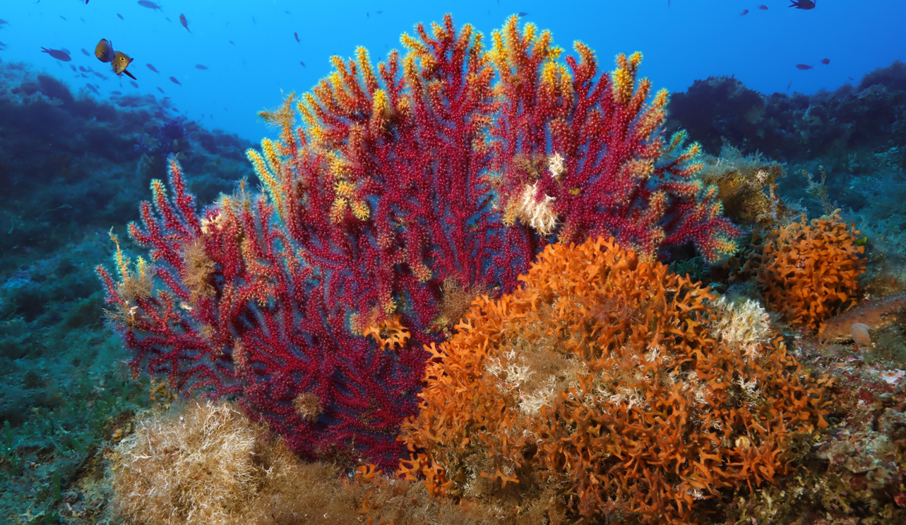
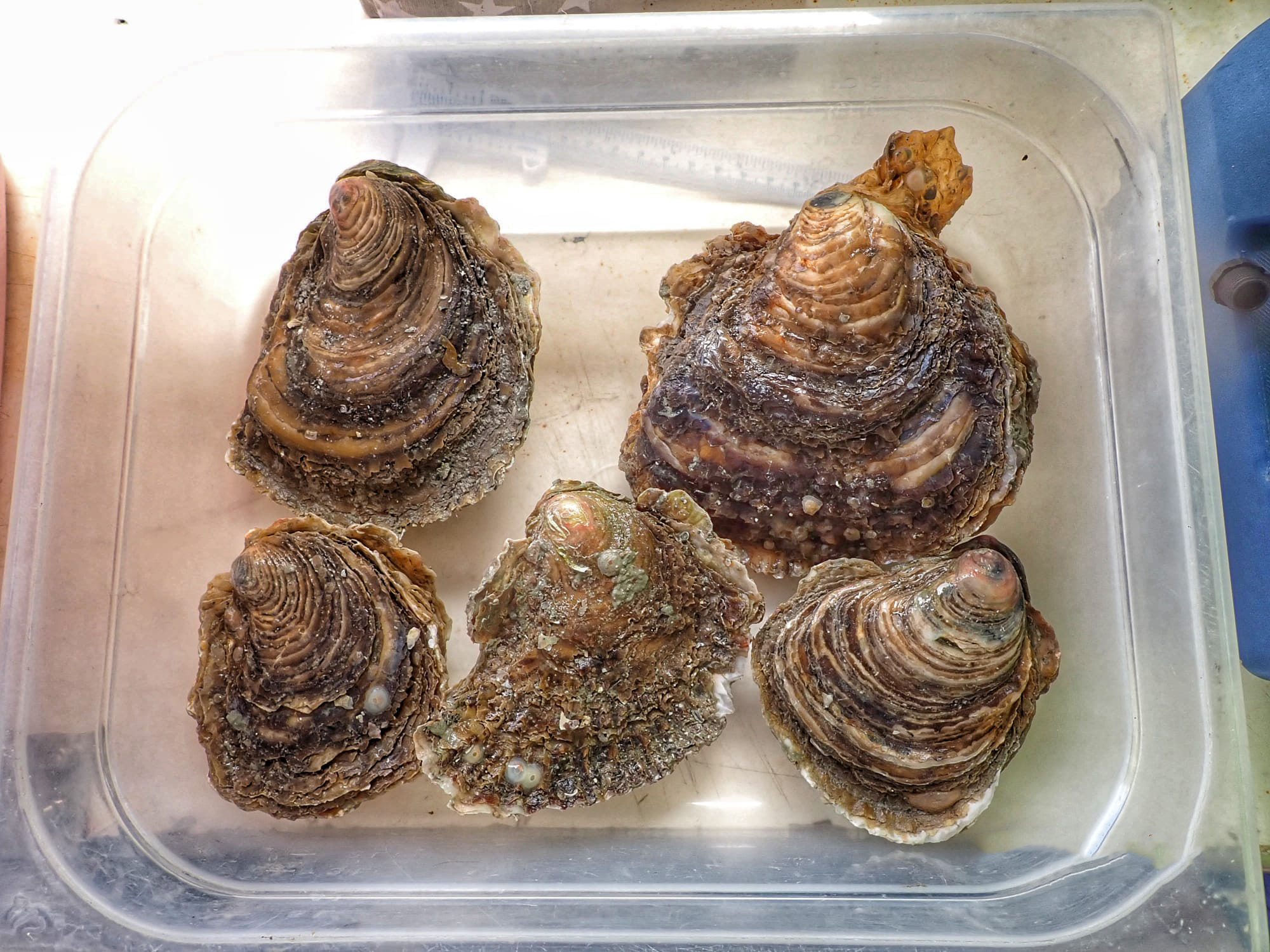
“The detailed mapping based on field surveys fully covers the ground to a depth of 40 m and the seabed within protected areas, i.e. national parks, nature parks and Natura 2000 areas. In addition, areas near national parks and nature parks as well as two areas in the epicontinental area were surveyed and selected, one of which is located exactly in the center of the Jabuka pit. More than 6,500 km2 were mapped using direct methods. Except for 51% of the surface of the seabed, the map was created by applying a neural network model based, among other things, on over 850 samples of seafloor sediments and numerous data from various fishing expeditions.
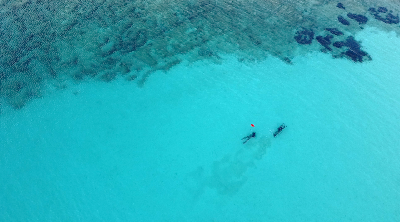
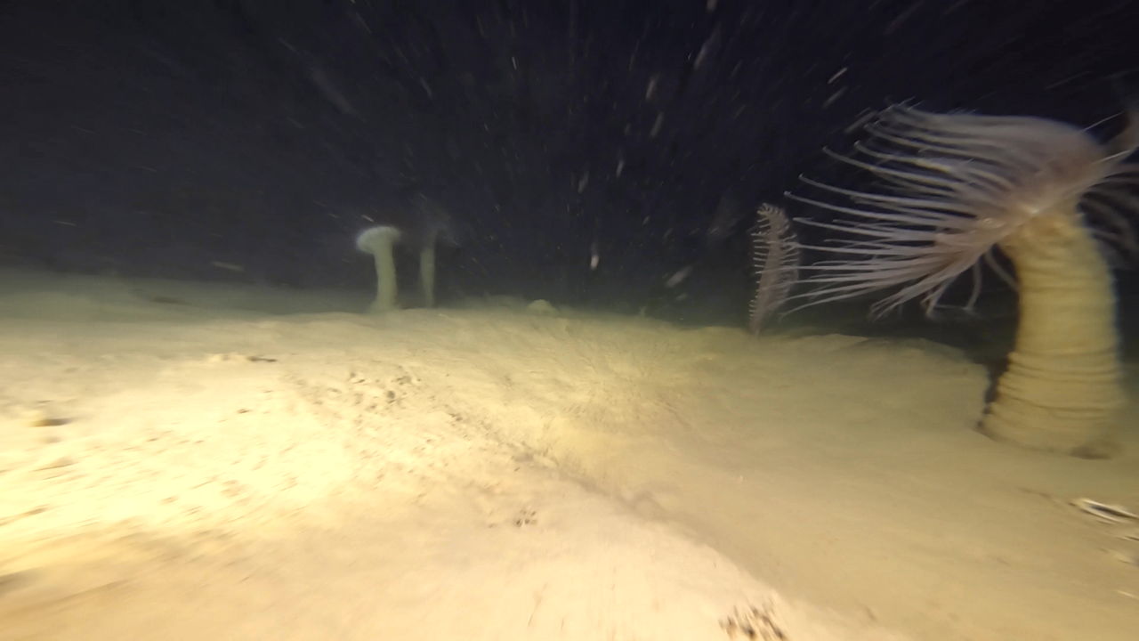
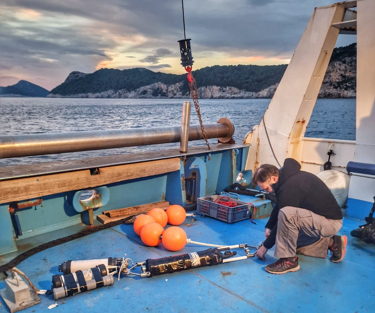
Extensive methods such as acoustic surveys and remote sensing with orthophotos and satellite images were used for the detailed mapping. These images were interpreted on the basis of data collected by direct methods such as direct observations in the coastal zone or by using divers, towed cameras and underwater divers on the bottom to a depth of over 200 m” – explained Dr. Ante Žuljević, head of the Benthos Laboratory at the Institute of Oceanography and Fisheries and leader of the mapping activities within the project.
“18% of the area covered by the project was covered by direct observations, the remaining 82% was modeled. The model, which was developed, validated and implemented by scientists from the Laboratory of Informatics and Environmental Modeling of the Ruđer Bošković Institute in cooperation with SCIOM d.o.o., assimilates data in neural networks in an innovative way and predicts habitats at the third level of the national habitat classification with very high accuracy,” he emphasized. Dr. Tin Klanjšček, head of the Laboratory of Informatics and Environmental Modeling at IRB.
That these are very complex models and a major undertaking when it comes to field surveys is confirmed by the data on the use of towed cameras, which have recorded the ground in over 3,700 areas, mostly from the surface to a depth of fifty meters.
“Processing the collected data and creating maps required at least twice as much time as the field surveys. Despite the scope of the work, the project was completed within the given deadlines” – concluded Dr. Ante Žuljević from IOR.
The project “Mapping of coastal and seabed habitats in the area of the Adriatic Sea under national jurisdiction” was implemented by the Ministry of Economy and Sustainable Development in the period from 2018 to 2023. The total value of the project amounted to 11.9 million euros and was implemented within the 2014. .- 2020 through the Operational Program for Competitiveness and Cohesion with EU co-financing of 85%. The national share of co-financing was provided by the Fund for Environmental Protection and Energy Efficiency.