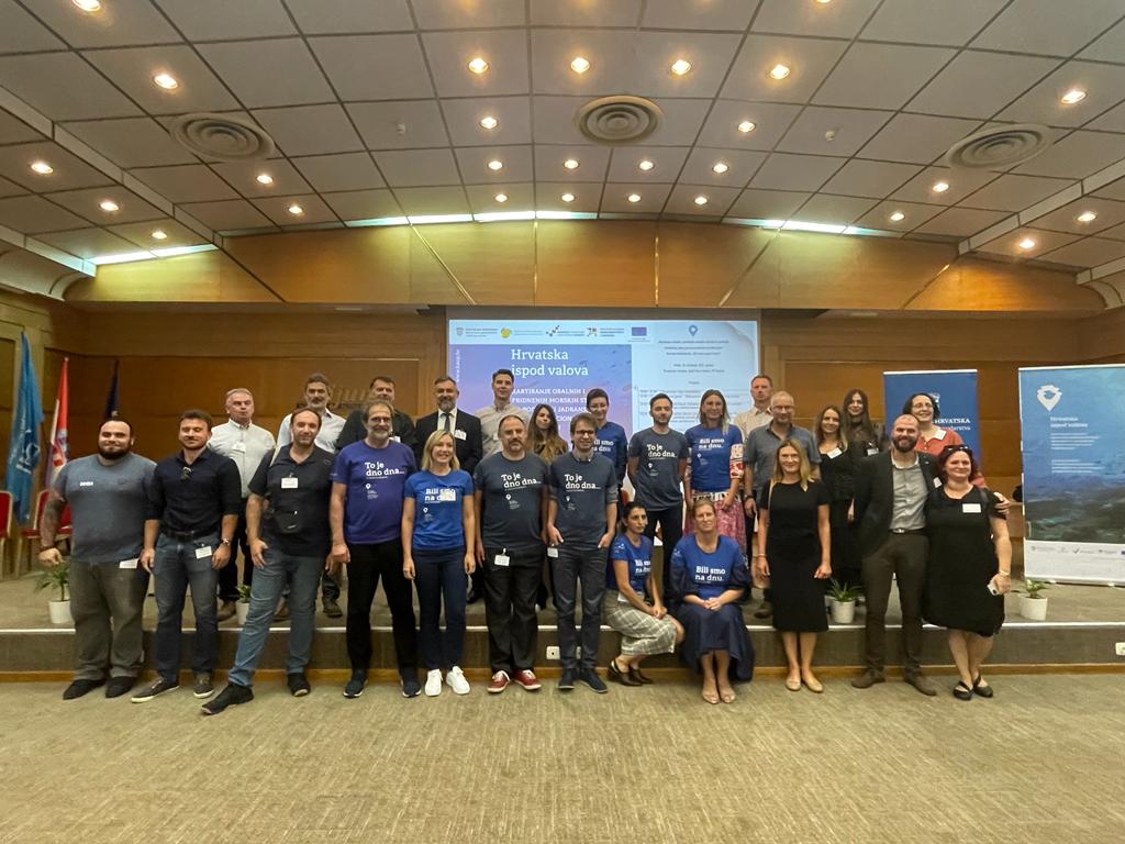
In the last two years, the Institute has participated in the mapping of benthic habitats as the project leader and in cooperation with eight project partners and subcontractors (OIKON, Croatian Geological Institute, Faculty of Geodesy, Ruđer Bošković Institute, Croatian Hydrographic Institute, SCIOM, Dvokut ECRO, and ECO-TECH).
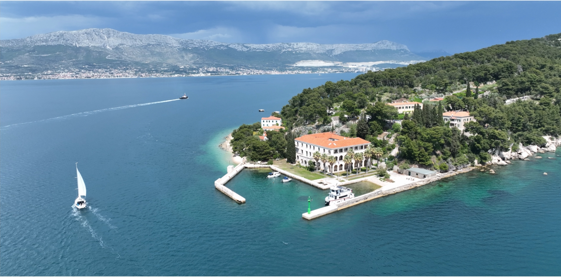
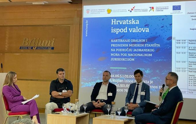
About 6500 km2 of the coastal sea were mapped in detail, i.e. the entire seabed to a depth of 40 m, protected areas in their entirety and Natura 2000, and selected isolated areas to a depth of 100 m. In the epicontinental zone, about 300 km2 were mapped in detail in two separate areas. Up to a total area of 51% under the jurisdiction of Croatia, the map of the seabed habitat was created using the model. The implementation of this extremely comprehensive project was presented on October 13 in Brijuni, and the overall map of benthic habitats will be publicly available in early 2024.
The client of the project is the Ministry of Environmental Protection and Energy within the Operational Program “Competitiveness and Cohesion”.